
Solutions | Smart Cities & Urban Planning
Leverage real-time data and spatial intelligence to optimize infrastructure, mobility, and resource allocation across the city.
DataSense integrates traffic flows, utility usage, environmental indicators, and civic service metrics to provide a unified view of city operations. Administrators can identify bottlenecks, plan interventions, and improve citizen services proactively.
From traffic and utilities to public services and environmental monitoring, DataSense ensures strategic alignment, efficient operations, and data-driven governance.
Analyze congestion patterns, optimize routing, and improve public transport efficiency.
Track energy, water, and waste systems to prevent overloading and ensure continuity.
Monitor pollution levels, hazard zones, and compliance with urban regulations.
DataSense combines geospatial data with operational metrics to guide resource allocation, preventive interventions, and sustainable planning.
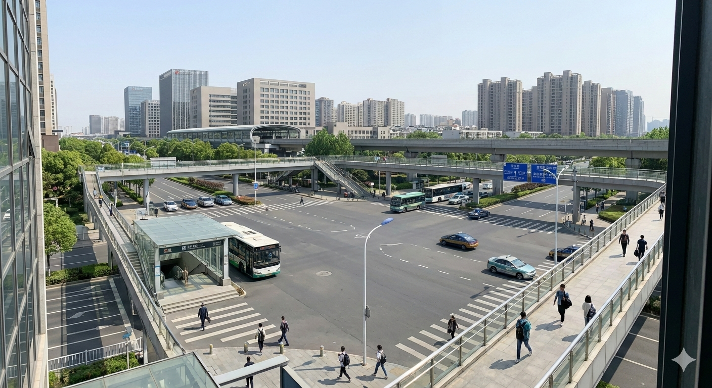
Continuous city-level signals help authorities prioritize interventions, optimize resource deployment, and maintain reliable urban services.
Learn more about intelligent urban planning.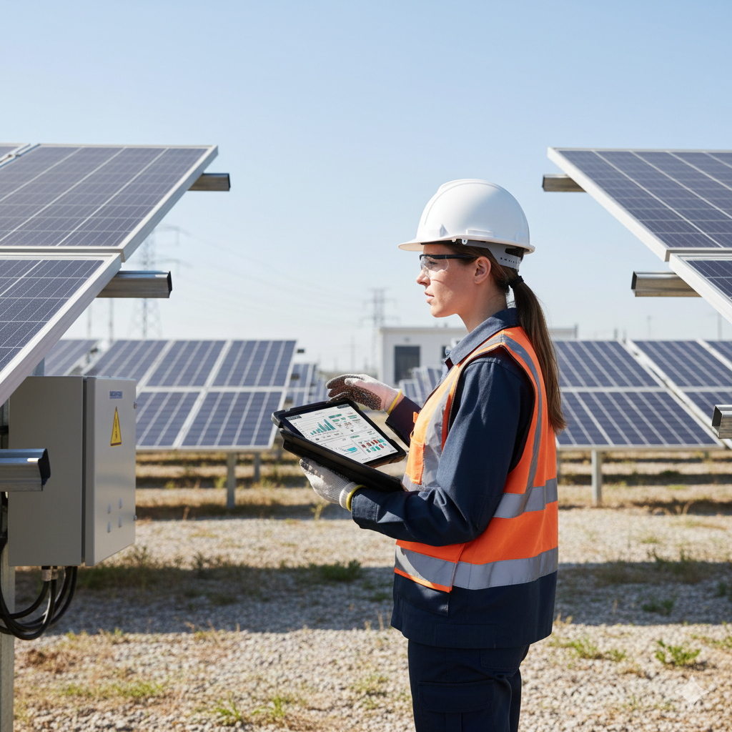
See the horizon of possibilities with us.
Explore your potential to the fullest